75 KIMBALL RD
Owner Information
DEEGAN BRYAN S
75 KIMBALL RD
AMESBURY, MA None


Property Details
75 KIMBALL RD is classified as a Single Family Residential (Raised ranch).
The primary structure on this property was built in 1976. There are 2,874ft2 of built area within this property. There is 1,272ft2 of residential/living space within this property. This property is listed as having 7 rooms.
75 KIMBALL RD is valued at $373,400. The land is valued at $172,400 and the structures are valued at $192,100. There is an additional valuation of $8,900 on this property.
This property is in Zone R40. Confirm with local Zoning Board authorities to ensure there are no overlays or other easements on this property.
The most recent deed for 75 KIMBALL RD is recorded at the local registrar in Book 27182, Page 461. 75 KIMBALL RD was last sold on Friday, September 14, 2007 for $100.
Assessment data from fiscal year 2022.
Flood Data
According to the FEMA National Flood Hazard Layer, this property does not appear to be in a flood zone. It may also be in an area not yet reviewed. Nonetheless, confirm this information prior to taking any action.
To view the flood hazards around this property, create a FEMA "Firmette" Map of the area around 75 KIMBALL RD.
Broadband Internet Providers
| Provider | Type | Bandwidth (mbps) | |
|---|---|---|---|
| Verizon New England Inc. | DSL | 5 | 0 |
| VSAT Systems, LLC. | Satellite | 2 | 1 |
| HughesNet | Satellite | 25 | 3 |
| GCI Communication Corp. | Satellite | 0 | 0 |
| Comcast | Cable | 1000 | 35 |
| Viasat Inc | Satellite | 100 | 3 |
Broadband service provider data from December 2020.
Adjacent Properties
- 73 KIMBALL RD
Single Family Residential owned by BOUDREAU CHELSEA & REBEKAH PRESCOTT J/T - 69 KIMBALL RD
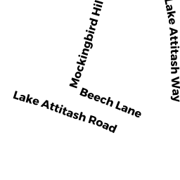
Pasture (Ch. 61A, not classified as Open Space) owned by PELOUZE BRIGITTE R - 57 LAKE ATTITASH RD
Single Family Residential owned by JUTRAS J NORMAND - 77 KIMBALL RD
Single Family Residential owned by HARPER TAYLOR